65th SIFET National Conference
After the forced interruption due to the pandemic, SIFET is organizing the 65th National Conference in Arezzo from 27 to 29 September 2023 at the exhibition spaces of “Arezzo Fiere e Congressi”. It will be an opportunity to reflect on the use of geomatic methodologies and technologies in different application contexts, which therefore give rise to real DISCIPLINARY INTERSECTIONS.
The discussion will then focus on the evolution of geomatics, on the development of methods, technologies and tools, on the different applications carried out today, both at a national and international level, and finally on the important consequences that have and will have on a professional level.
The main sessions of the conference relating to intersections
disciplinary measures will be as follows:
- DIGITAL MEASUREMENTS AND MODELS FOR THE ANALYSIS OF DAMAGE TO STRUCTURES AND THE ENVIRONMENT
- LARGE-SCALE DIGITAL MAPPING FOR THE CITY AND TERRITORY
- HERITAGE BUILT AT RISK
- GEOTRACKING FOR ENGINEERING, AGRICULTURE AND MOBILITY
The SIFET Scientific Committee has assessed that the contribution “Methodological approach for the survey, restitution and modeling in the BIM environment of buildings as a support for design: the case study of the Municipality of Montevarchi” is presented during the AperiPoster Session moderated by Dr. ssa Valentina Girelli and which will take place on Wednesday 27 September from 7.00 pm and will be part of disciplinary intersection 2: Built heritage at risk.
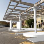
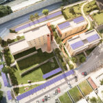
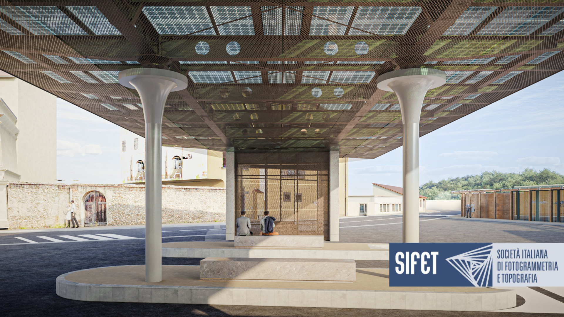
The project for the new Iron-Rubber Interchange Center of Montevarchi, called “Memarario” seeks to provide solutions to critical issues that concern urban and functional aspects as well as to reduce the direct and indirect risks connected to the intersection of routes involving public transport, private transport , “weak” users such as pedestrians and cyclists.
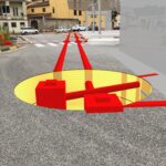
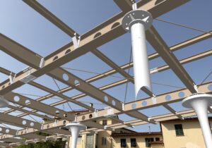 Thanks to Trimble and its new Augmented Reality (AR) app, our project managers, engineers and contractors had the ability to view BIM models at scale, and contextualized in reality, simply from a mobile device.
The accurate survey of the underground services and their virtualization in a BIM model made it possible to identify on site the interferences with the structures of the shelter under construction, allowing a verification of the tracings relating to the foundations with a margin of error of a few cm. BIM models virtualized in the real context, so-called mixed reality, allow a qualitative assessment of the impact that the works will have in the context through an immersive experience that can be used by all interested parties.
This also allows us to make complex situations such as design reviews, problem resolution, safety management more intuitive and collaborative, construction site operators can skillfully manage optimized construction workflows in the field and use BIM models from from various sources. All this allows you to optimize daily operations such as assembly and inspections.

